 Wayfarrow
Roberts Ferry Covered Bridge
Covered bridge · Stanislaus County, California
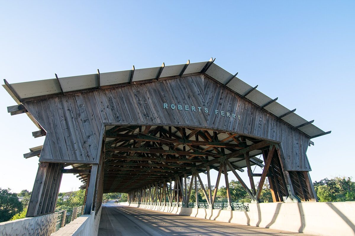
Roberts Ferry Covered Bridge is a covered bridge in Stanislaus County, California. California has 13 covered bridges on record at Wayfarrow, 2 of them in Stanislaus County.
It crosses Tuolumne River.
Status check, 2026-11: A concrete bridge with a decorative, non-structural wooden cover, built to replace the 1915 steel truss bridge after the 1997 floods. Sources disagree on the year (opened 1999, dedicated Feb 2000) and the length (440 ft vs 200.1 ft). It stands at 37.6359° N, 120.6184° W.
Nearby places
- Davis's Ferryghost town · Stanislaus County · 0.7 mi
- Arnoldghost town · Stanislaus County · 11.1 mi
- Knight's Ferry Bridgecovered bridge · Stanislaus County · 13 mi
- Arundelghost town · Merced County · 13 mi
- Edendaleghost town · Merced County · 14.4 mi
- Esmarghost town · Stanislaus County · 17.7 mi
- Chinese Campghost town · Tuolumne County · 19.1 mi
- Nairnghost town · Merced County · 19.2 mi
- Cubaghost town · Merced County · 19.4 mi
- Bellevueghost town · Merced County · 20.3 mi
- Hoffghost town · Merced County · 20.9 mi
- Horseshoe Bendghost town · Mariposa County · 21.4 mi
Questions
Where is Roberts Ferry Covered Bridge?
Roberts Ferry Covered Bridge is in Stanislaus County, California, at 37.6359, -120.6184.
How many covered bridges are in Stanislaus County?
Stanislaus County, California has 2 covered bridges on record at Wayfarrow.
- Wikidata — Wikidata item (CC0)
- Wayfarrow status check (web sources) — Checked for current status (facts)
- Wayfarrow status check (web sources) — Checked for current status (facts)
- Wayfarrow status check (web sources) — Checked for current status (facts)
- Wayfarrow status check (web sources) — Checked for current status (facts)
Facts marked "approximately" carry an uncertain date in the source. Text on this page is generated from the sources above; no encyclopedia prose is copied. Last updated 2026-11-05.