 Wayfarrow
Wawona Covered Bridge
Covered bridge · Mariposa County, California
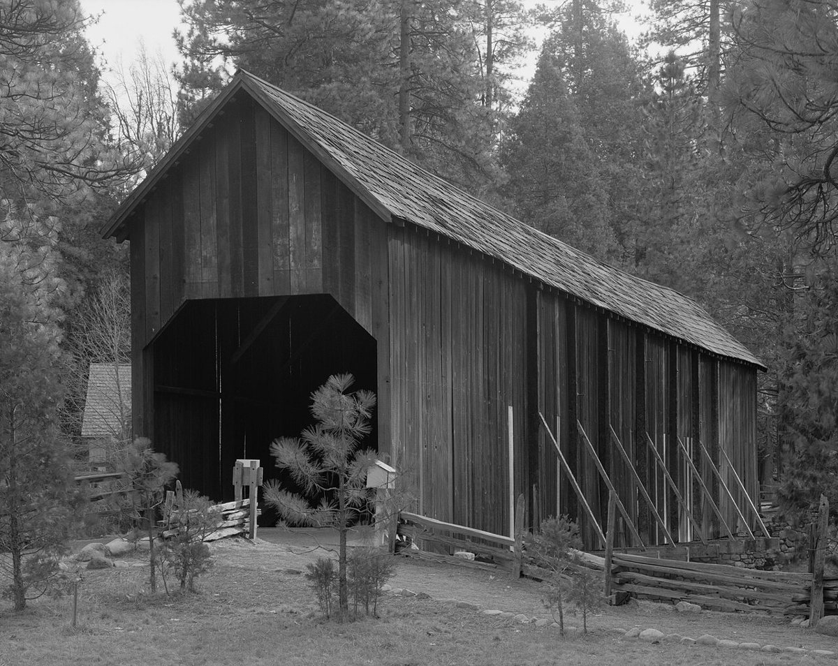
Wawona Covered Bridge is a covered bridge in Mariposa County, California, described in its record as place in California listed on National Register of Historic Places. California has 13 covered bridges on record at Wayfarrow.
Status check, 2026-11: Galen Clark built it as an open bridge in 1868 (some sources say 1857); it was covered in the 1870s and taken apart and rebuilt in 1956 after the 1955 flood. Lengths are given as 130 ft 4 in (NRHP) or 138 ft. Wawona Covered Bridge is listed on the National Register of Historic Places. It stands at 37.5386° N, 119.6559° W.
Key facts
| Heritage designation | National Register of Historic Places listed place |
|---|---|
| National Register | Listed |
| Coordinates | 37.53861, -119.65594 |
Nearby places
- South Wawonaghost town · Mariposa County · 0.8 mi
- North Wawonaghost town · Mariposa County · 1.1 mi
- Bailey Flatsghost town · Madera County · 16 mi
- Grub Gulchghost town · Madera County · 16.1 mi
- Agua Friaghost town · Mariposa County · 20.3 mi
- Narboghost town · Madera County · 22.4 mi
- Mount Ophirghost town · Mariposa County · 22.5 mi
- Willow Glenghost town · Madera County · 22.8 mi
- Cat Townghost town · Mariposa County · 24.9 mi
- Hillsideghost town · Madera County · 26.1 mi
- Magnetghost town · Madera County · 26.7 mi
- Jesbelghost town · Madera County · 31.5 mi
- Wikidata — Wikidata item (CC0)
- National Register of Historic Places — National Register of Historic Places record (public-domain)
- Wikidata — Wikipedia article (linked as a source; text not used) (CC0)
- Wayfarrow status check (web sources) — Checked for current status (facts)
- Wayfarrow status check (web sources) — Checked for current status (facts)
- Wayfarrow status check (web sources) — Checked for current status (facts)
- Wayfarrow status check (web sources) — Checked for current status (facts)
Facts marked "approximately" carry an uncertain date in the source. Text on this page is generated from the sources above; no encyclopedia prose is copied. Last updated 2026-11-05.