 Wayfarrow
Elder's Mill Covered Bridge
Covered bridge · Oconee County, Georgia
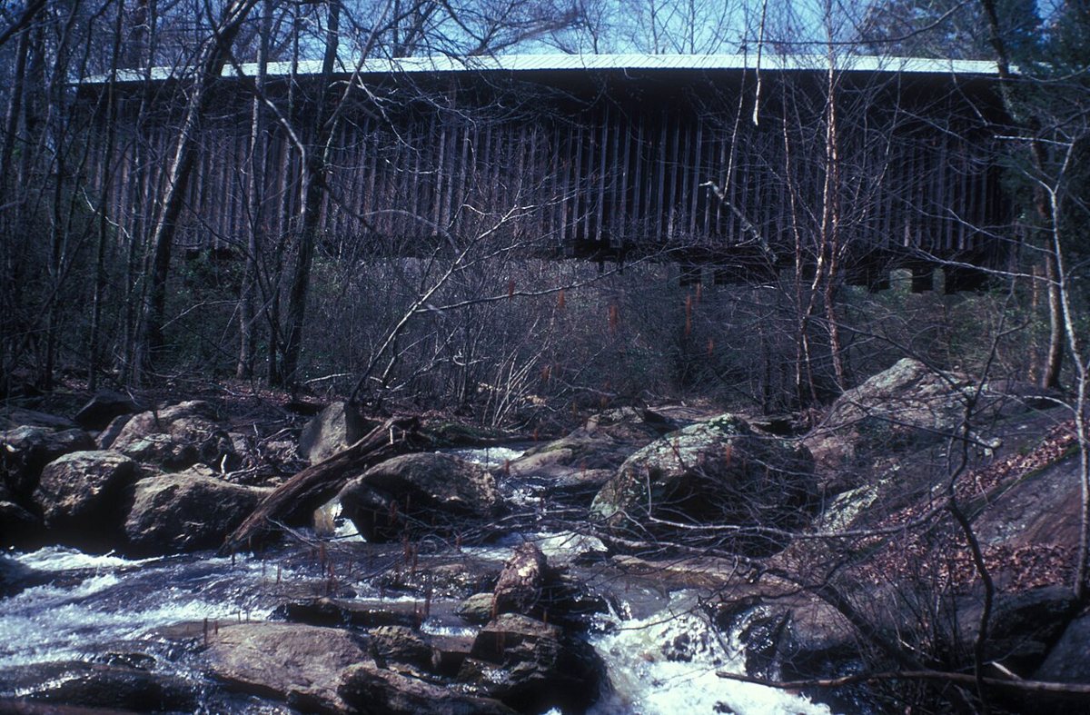
Elder's Mill Covered Bridge is a covered bridge in Oconee County, Georgia. Georgia has 16 covered bridges on record at Wayfarrow.
It was built in 1897, in the late 19th century, making it the 7th oldest of the 9 in Georgia with a recorded construction date; it crosses Rose Creek; it is about 99 feet long.
Status check, 2026-11: Nathaniel Richardson built this Town lattice bridge in 1897 over Calls Creek, and it was moved to Rose Creek in 1924. It still carries traffic without steel beams underneath. Some sources round the length to 100 ft, but the historical marker and the NRHP-based description give 99 ft. It stands at 33.8030° N, 83.3637° W.
Key facts
| Current structure built | 1897 |
|---|---|
| Crosses | Rose Creek |
| Length | 99 ft |
| Coordinates | 33.80298, -83.36371 |
Nearby places
- Barnett Shoalsghost town · Oconee County · 4.1 mi
- Rutherfordghost town · Oconee County · 4.8 mi
- Turpinghost town · Oconee County · 5.9 mi
- Scull Shoalsghost town · Greene County · 6.6 mi
- Rehobothghost town · Morgan County · 7.2 mi
- Shieldsghost town · Morgan County · 9.7 mi
- Cobbhamghost town · Clarke County · 11 mi
- Bowling Greenghost town · Oglethorpe County · 13.4 mi
- Dowdyghost town · Madison County · 16.6 mi
- Talasseeghost town · Jackson County · 17.1 mi
- Diamond Rockghost town · Madison County · 17.2 mi
- Howard's Covered Bridgecovered bridge · Oglethorpe County · 18.3 mi
- Wikidata — Wikidata item (CC0)
- Wayfarrow status check (web sources) — Checked for current status (facts)
- Wayfarrow status check (web sources) — Checked for current status (facts)
- Wayfarrow status check (web sources) — Checked for current status (facts)
- Wayfarrow status check (web sources) — Checked for current status (facts)
Facts marked "approximately" carry an uncertain date in the source. Text on this page is generated from the sources above; no encyclopedia prose is copied. Last updated 2026-11-05.