 Wayfarrow
Pool's Mill Covered Bridge
Covered bridge · Forsyth County, Georgia
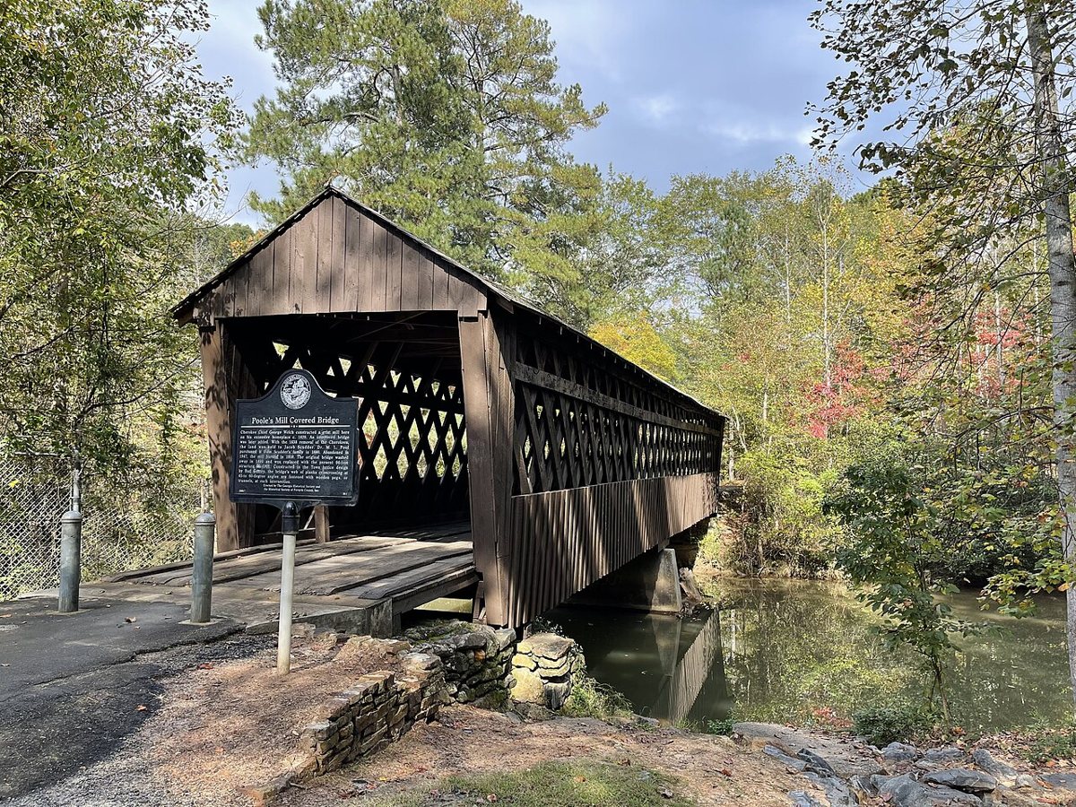
Pool's Mill Covered Bridge is a covered bridge in Forsyth County, Georgia. Georgia has 16 covered bridges on record at Wayfarrow.
It crosses Settingdown Creek.
Status check, 2026-11: Town lattice bridge (spelled Poole's Mill) that replaced one lost in a flood around 1899-1900; sources give 1900, 1901 or 1906 and 94 or 96 ft, and a middle support pier was added in the mid-1990s. Pool's Mill Covered Bridge is listed on the National Register of Historic Places. It stands at 34.2910° N, 84.2426° W.
Key facts
| Crosses | Settingdown Creek |
|---|---|
| Heritage designation | National Register of Historic Places listed place |
| National Register | Listed |
| Coordinates | 34.29096, -84.24259 |
Nearby places
- Creightonghost town · Cherokee County · 1.5 mi
- Centervilleghost town · Cherokee County · 5.5 mi
- Johntownghost town · Dawson County · 16.3 mi
- Wierghost town · Lumpkin County · 16.9 mi
- Etowahghost town · Lumpkin County · 17 mi
- Aurariaghost town · Lumpkin County · 17.9 mi
- New Bridgeghost town · Lumpkin County · 18.2 mi
- Hedwigghost town · Lumpkin County · 18.4 mi
- Absalomghost town · Hall County · 18.8 mi
- Albertghost town · Lumpkin County · 20.8 mi
- Sniderghost town · Gilmer County · 21 mi
- Jayghost town · Lumpkin County · 21 mi
Sources and licences
- Wikidata — Wikidata item (CC0)
- National Register of Historic Places — National Register of Historic Places record (public-domain)
- Wikidata — Wikipedia article (linked as a source; text not used) (CC0)
- Wayfarrow status check (web sources) — Checked for current status (facts)
- Wayfarrow status check (web sources) — Checked for current status (facts)
- Wayfarrow status check (web sources) — Checked for current status (facts)
Facts marked "approximately" carry an uncertain date in the source. Text on this page is generated from the sources above; no encyclopedia prose is copied. Last updated 2026-11-05.