 Wayfarrow
Gilpin's Falls Covered Bridge
Covered bridge · Cecil County, Maryland
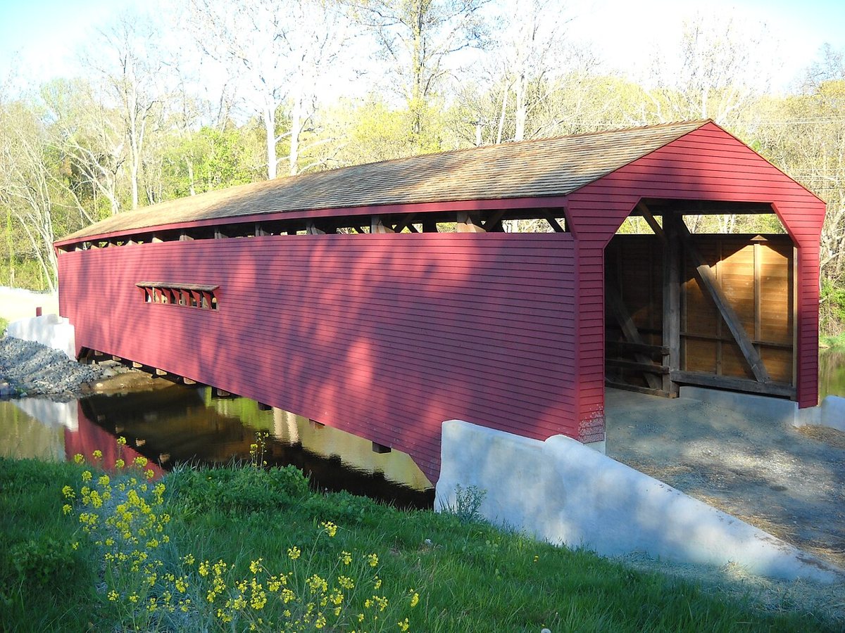
Gilpin's Falls Covered Bridge is a covered bridge in Cecil County, Maryland, described in its record as bridge in Maryland. Maryland has 7 covered bridges on record at Wayfarrow, 2 of them in Cecil County.
It crosses North East Creek; it is about 119 feet long (the longest of 5 measured in Maryland).
Status check, 2026-11: This is the longest surviving covered bridge in Maryland. Its build date is left null because sources give 1859-60, 1860 or 1860-61. It was restored in 1959 after its roof collapsed in 1958, then rehabilitated in 2010. Gilpin's Falls Covered Bridge is listed on the National Register of Historic Places. It stands at 39.6488° N, 75.9556° W.
Key facts
| Crosses | North East Creek |
|---|---|
| Length | 119 ft |
| Heritage designation | National Register of Historic Places listed place |
| National Register | Listed |
| Coordinates | 39.64880, -75.95560 |
Nearby places
- Ewingvilleghost town · Cecil County · 4.2 mi
- Foys Hillghost town · Cecil County · 4.2 mi
- Nellys Cornerghost town · Cecil County · 4.6 mi
- The Rockghost town · Cecil County · 5.1 mi
- Glen Hope Covered Bridgecovered bridge · Chester County · 6 mi
- Glen Hopeghost town · Chester County · 6.2 mi
- Bel Hillghost town · Cecil County · 7 mi
- Bankghost town · Cecil County · 7.3 mi
- Foxcatcher Farm Covered Bridgecovered bridge · Cecil County · 7.6 mi
- Rudolph and Arthur Covered Bridgecovered bridge · Chester County · 7.8 mi
- Frenchtownghost town · Cecil County · 7.8 mi
- Linton Stephens Covered Bridgecovered bridge · Chester County · 7.8 mi
Questions
Where is Gilpin's Falls Covered Bridge?
Gilpin's Falls Covered Bridge is in Cecil County, Maryland, at 39.6488, -75.9556.
How many covered bridges are in Cecil County?
Cecil County, Maryland has 2 covered bridges on record at Wayfarrow.
- Wikidata — Wikidata item (CC0)
- National Register of Historic Places — National Register of Historic Places record (public-domain)
- Wikidata — Wikipedia article (linked as a source; text not used) (CC0)
- Wayfarrow status check (web sources) — Checked for current status (facts)
- Wayfarrow status check (web sources) — Checked for current status (facts)
- Wayfarrow status check (web sources) — Checked for current status (facts)
Facts marked "approximately" carry an uncertain date in the source. Text on this page is generated from the sources above; no encyclopedia prose is copied. Last updated 2026-11-05.