 Wayfarrow
Zumbrota Covered Bridge
Covered bridge · Goodhue County, Minnesota
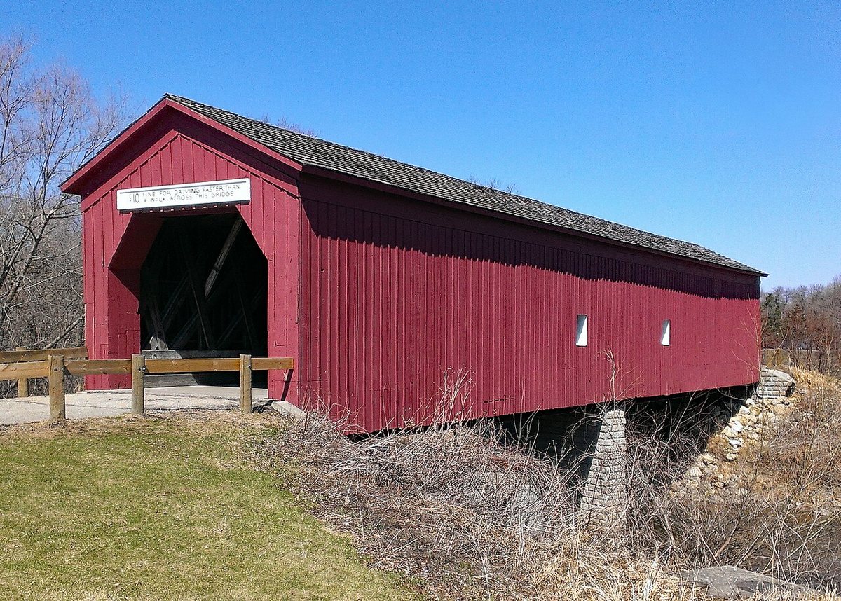
Zumbrota Covered Bridge is a covered bridge in Goodhue County, Minnesota. Minnesota has 1 covered bridges on record at Wayfarrow.
It was built in 1869, in the Civil War era; it crosses North Fork Zumbro River.
Status check, 2026-11: This is Minnesota's last historic covered bridge; the roof was added in 1871, the bridge has been moved more than once, and the roof was rebuilt after it collapsed under snow in 2019. Sources give the length as 116, 120 or 123 ft. Zumbrota Covered Bridge is listed on the National Register of Historic Places. It stands at 44.2964° N, 92.6704° W.
Key facts
| Current structure built | 1869 |
|---|---|
| Crosses | North Fork Zumbro River |
| Heritage designation | National Register of Historic Places listed place |
| National Register | Listed |
| Coordinates | 44.29639, -92.67042 |
Nearby places
- Fairpointghost town · Goodhue County · 11.8 mi
- Florenceghost town · Goodhue County · 22.1 mi
- Rice Lakeghost town · Steele County · 22.6 mi
- Lewistonghost town · Dakota County · 25 mi
- Westfield Centerghost town · Dodge County · 28.1 mi
- Point Douglasghost town · Washington County · 32.3 mi
- Niningerghost town · Dakota County · 34.6 mi
- Savoyghost town · Buffalo County · 34.8 mi
- Whitewater Fallsghost town · Winona County · 35.2 mi
- Welch Pointghost town · Dunn County · 42.9 mi
- Anchorageghost town · Buffalo County · 45.3 mi
- Gishvilleghost town · Le Sueur County · 45.4 mi
- Wikidata — Wikidata item (CC0)
- National Register of Historic Places — National Register of Historic Places record (public-domain)
- Wikidata — Wikipedia article (linked as a source; text not used) (CC0)
- Wayfarrow status check (web sources) — Checked for current status (facts)
- Wayfarrow status check (web sources) — Checked for current status (facts)
- Wayfarrow status check (web sources) — Checked for current status (facts)
- Wayfarrow status check (web sources) — Checked for current status (facts)
Facts marked "approximately" carry an uncertain date in the source. Text on this page is generated from the sources above; no encyclopedia prose is copied. Last updated 2026-11-05.