 Wayfarrow
Lower Humbert Covered Bridge
Covered bridge · Somerset County, Pennsylvania
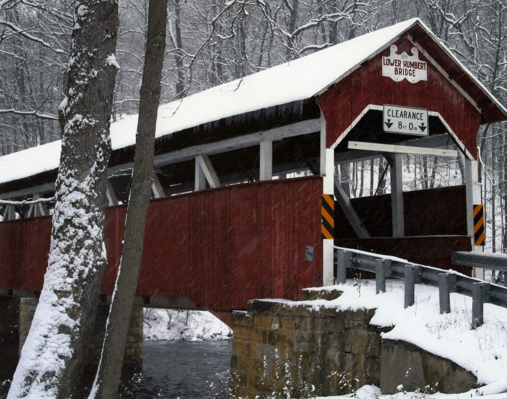
Lower Humbert Covered Bridge is a covered bridge in Somerset County, Pennsylvania, described in its record as bridge in Pennsylvania, United States. Pennsylvania has 231 covered bridges on record at Wayfarrow, 11 of them in Somerset County.
It was built in 1891, in the late 19th century, making it the 110th oldest of the 134 in Pennsylvania with a recorded construction date; it crosses Laurel Hill Creek; it is about 127 feet long (13th longest of 83 measured in Pennsylvania).
Status check, 2026-11: Burr arch truss bridge (also called Faidley Bridge) over Laurel Hill Creek, rebuilt in 1991 and still open to cars; Lostbridges lists 125 ft and mentions unproven claims that it dates to 1830. Lower Humbert Covered Bridge is listed on the National Register of Historic Places. It stands at 39.8401° N, 79.3231° W.
Key facts
| Current structure built | 1891 |
|---|---|
| Crosses | Laurel Hill Creek |
| Length | 127 ft |
| Heritage designation | National Register of Historic Places listed place |
| National Register | Listed |
| Coordinates | 39.84010, -79.32310 |
Nearby places
- Deer Valley Kissing Bridgecovered bridge · Somerset County · 7.1 mi
- King's Bridgecovered bridge · Somerset County · 7.3 mi
- Barronvale Bridgecovered bridge · Somerset County · 8.3 mi
- Watsondaleghost town · Fayette County · 8.7 mi
- Geicesghost town · Garrett County · 9.8 mi
- Wrightsghost town · Preston County · 15 mi
- Beechdale Bridgecovered bridge · Somerset County · 15.6 mi
- Zarghost town · Preston County · 19.4 mi
- Walter's Mill Bridgecovered bridge · Somerset County · 20.3 mi
- Florenceghost town · Preston County · 22.2 mi
- West Overtonghost town · Westmoreland County · 23.1 mi
- Gusemanghost town · Preston County · 24 mi
Questions
Where is Lower Humbert Covered Bridge?
Lower Humbert Covered Bridge is in Somerset County, Pennsylvania, at 39.8401, -79.3231.
How many covered bridges are in Somerset County?
Somerset County, Pennsylvania has 11 covered bridges on record at Wayfarrow.
- Wikidata — Wikidata item (CC0)
- National Register of Historic Places — National Register of Historic Places record (public-domain)
- Wikidata — Wikipedia article (linked as a source; text not used) (CC0)
- Wayfarrow status check (web sources) — Checked for current status (facts)
- Wayfarrow status check (web sources) — Checked for current status (facts)
- Wayfarrow status check (web sources) — Checked for current status (facts)
- Wayfarrow status check (web sources) — Checked for current status (facts)
Facts marked "approximately" carry an uncertain date in the source. Text on this page is generated from the sources above; no encyclopedia prose is copied. Last updated 2026-11-05.