 Wayfarrow
Sheard's Mill Covered Bridge
Covered bridge · Bucks County, Pennsylvania
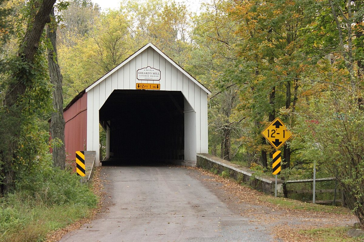
Sheard's Mill Covered Bridge is a covered bridge in Bucks County, Pennsylvania. Pennsylvania has 231 covered bridges on record at Wayfarrow, 14 of them in Bucks County.
It was built in 1873, in the late 19th century, making it the 48th oldest of the 134 in Pennsylvania with a recorded construction date; it crosses Tohickon Creek; it is about 130 feet long (9th longest of 83 measured in Pennsylvania).
Status check, 2026-11: A single-span Town truss bridge over Tohickon Creek next to the Levi Sheard Mill. The Bucks County Covered Bridge Society gives 130 ft, while lostbridges.org lists 134 ft 7 in overall. Sheard's Mill Covered Bridge is listed on the National Register of Historic Places. It stands at 40.4548° N, 75.2781° W.
Key facts
| Current structure built | 1873 |
|---|---|
| Crosses | Tohickon Creek |
| Length | 130 ft |
| Heritage designation | National Register of Historic Places listed place |
| National Register | Listed |
| Coordinates | 40.45480, -75.27815 |
Nearby places
- Mood's Covered Bridgecovered bridge · Bucks County · 5.1 mi
- Knecht's Mill Covered Bridgecovered bridge · Bucks County · 5.8 mi
- South Perkasie Covered Bridgecovered bridge · Bucks County · 6.1 mi
- Haupt's Mill Covered Bridgecovered bridge · Bucks County · 8.1 mi
- Loux Covered Bridgecovered bridge · Bucks County · 8.2 mi
- Frankenfield Covered Bridgecovered bridge · Bucks County · 9.5 mi
- New Galenaghost town · Bucks County · 10 mi
- Erwinna Covered Bridgecovered bridge · Bucks County · 11.2 mi
- Iron Hillghost town · Northampton County · 11.2 mi
- Pine Valley Covered Bridgecovered bridge · Bucks County · 11.4 mi
- Uhlerstown Covered Bridgecovered bridge · Bucks County · 11.8 mi
- Uhlersvilleghost town · Northampton County · 12.8 mi
Questions
Where is Sheard's Mill Covered Bridge?
Sheard's Mill Covered Bridge is in Bucks County, Pennsylvania, at 40.4548, -75.2781.
How many covered bridges are in Bucks County?
Bucks County, Pennsylvania has 14 covered bridges on record at Wayfarrow.
- Wikidata — Wikidata item (CC0)
- National Register of Historic Places — National Register of Historic Places record (public-domain)
- Wikidata — Wikipedia article (linked as a source; text not used) (CC0)
- Wayfarrow status check (web sources) — Checked for current status (facts)
- Wayfarrow status check (web sources) — Checked for current status (facts)
- Wayfarrow status check (web sources) — Checked for current status (facts)
Facts marked "approximately" carry an uncertain date in the source. Text on this page is generated from the sources above; no encyclopedia prose is copied. Last updated 2026-11-05.