 Wayfarrow
Harrisburg Covered Bridge
Covered bridge · Sevier County, Tennessee
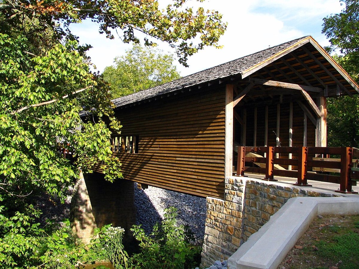
Harrisburg Covered Bridge is a covered bridge in Sevier County, Tennessee. Tennessee has 2 covered bridges on record at Wayfarrow.
It was built in 1875, in the late 19th century.
Status check, 2026-11: Built in 1875 to replace the McNutts Bridge, which a flood washed away. It was saved from demolition in the 1970s by the Daughters of the American Revolution and is still open to traffic. Most sources say 83 ft long, but Wikipedia says 88 ft. Harrisburg Covered Bridge is listed on the National Register of Historic Places. It stands at 35.8609° N, 83.4825° W.
Key facts
| Current structure built | 1875 |
|---|---|
| Heritage designation | National Register of Historic Places listed place |
| National Register | Listed |
| Coordinates | 35.86094, -83.48255 |
Nearby places
- Allensvilleghost town · Sevier County · 3.6 mi
- Powder Springsghost town · Sevier County · 5.4 mi
- Schroderghost town · Sevier County · 5.9 mi
- Foxghost town · Sevier County · 5.9 mi
- Ewingghost town · Sevier County · 7 mi
- Pleasant Hillghost town · Jefferson County · 7.7 mi
- French Broadghost town · Sevier County · 7.9 mi
- Reviloghost town · Sevier County · 8.6 mi
- Birdsvilleghost town · Cocke County · 11.8 mi
- Greenbrierghost town · Sevier County · 12.1 mi
- Texas Settlementghost town · Sevier County · 12.2 mi
- Beaver Damghost town · Jefferson County · 12.9 mi
- Wikidata — Wikidata item (CC0)
- National Register of Historic Places — National Register of Historic Places record (public-domain)
- Wikidata — Wikipedia article (linked as a source; text not used) (CC0)
- Wayfarrow status check (web sources) — Checked for current status (facts)
- Wayfarrow status check (web sources) — Checked for current status (facts)
- Wayfarrow status check (web sources) — Checked for current status (facts)
Facts marked "approximately" carry an uncertain date in the source. Text on this page is generated from the sources above; no encyclopedia prose is copied. Last updated 2026-11-05.