 Wayfarrow
Arlington Green Covered Bridge
Covered bridge · Bennington County, Vermont
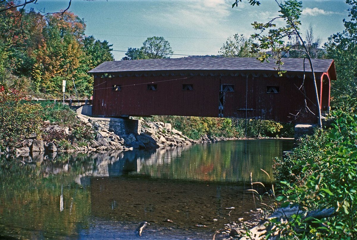
Arlington Green Covered Bridge is a covered bridge in Bennington County, Vermont. Vermont has 91 covered bridges on record at Wayfarrow, 5 of them in Bennington County.
It was built in 1852, in the Civil War era, making it the 10th oldest of the 57 in Vermont with a recorded construction date; it crosses Batten Kill; it is about 80 feet long (21st longest of 46 measured in Vermont).
Status check, 2026-11: A Town lattice bridge over the Batten Kill in West Arlington, listed on the National Register in 1973, damaged by Tropical Storm Irene flooding in 2011 and reopened after repairs (one source says 84 ft, but most say 80 ft). Arlington Green Covered Bridge is listed on the National Register of Historic Places. It stands at 43.1044° N, 73.2206° W.
Key facts
| Current structure built | 1852 |
|---|---|
| Crosses | Batten Kill |
| Length | 80 ft |
| Heritage designation | National Register of Historic Places listed place |
| National Register | Listed |
| Coordinates | 43.10444, -73.22056 |
Nearby places
- Eagleville Bridgecovered bridge · Washington County · 4.9 mi
- Chiselville Covered Bridgecovered bridge · Bennington County · 4.9 mi
- Shushan Bridgecovered bridge · Washington County · 6.4 mi
- Rexleigh Bridgecovered bridge · Washington County · 7.1 mi
- Paper Mill Village Bridgecovered bridge · Bennington County · 13.3 mi
- Burt Henry Covered Bridgecovered bridge · Bennington County · 13.4 mi
- Owl Kill Bridgecovered bridge · Washington County · 13.4 mi
- Silk Covered Bridgecovered bridge · Bennington County · 13.5 mi
- Buskirk Bridgecovered bridge · Washington County · 14.8 mi
- Scott Covered Bridgecovered bridge · Windham County · 26.7 mi
- Hemlock Brookghost town · Berkshire County · 28.7 mi
- Williamsville Covered Bridgecovered bridge · Windham County · 29.2 mi
Questions
Where is Arlington Green Covered Bridge?
Arlington Green Covered Bridge is in Bennington County, Vermont, at 43.1044, -73.2206.
How many covered bridges are in Bennington County?
Bennington County, Vermont has 5 covered bridges on record at Wayfarrow.
- Wikidata — Wikidata item (CC0)
- National Register of Historic Places — National Register of Historic Places record (public-domain)
- Wikidata — Wikipedia article (linked as a source; text not used) (CC0)
- Wayfarrow status check (web sources) — Checked for current status (facts)
- Wayfarrow status check (web sources) — Checked for current status (facts)
- Wayfarrow status check (web sources) — Checked for current status (facts)
- Wayfarrow status check (web sources) — Checked for current status (facts)
Facts marked "approximately" carry an uncertain date in the source. Text on this page is generated from the sources above; no encyclopedia prose is copied. Last updated 2026-11-05.