 Wayfarrow
East Shoreham Covered Railroad Bridge
Covered bridge · Addison County, Vermont
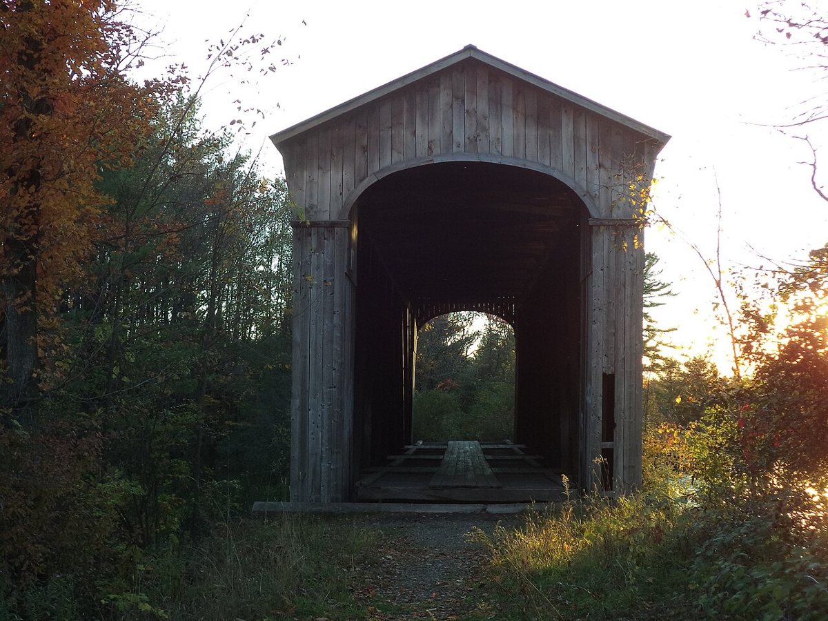
East Shoreham Covered Railroad Bridge is a covered bridge in Addison County, Vermont. Vermont has 91 covered bridges on record at Wayfarrow, 5 of them in Addison County.
It was built in 1897, in the late 19th century, making it the 42nd oldest of the 57 in Vermont with a recorded construction date; it crosses Lemon Fair River; it carries Rutland Railway.
Status check, 2026-11: Howe-truss railroad covered bridge owned by the state of Vermont and fully rehabilitated in 2007; HAER says the 1897 date is not firmly documented, and sources give its length as either 108 or 109 ft. East Shoreham Covered Railroad Bridge is listed on the National Register of Historic Places. It stands at 43.8592° N, 73.2561° W.
Key facts
| Current structure built | 1897 |
|---|---|
| Crosses | Lemon Fair River |
| Carries | Rutland Railway |
| Heritage designation | National Register of Historic Places listed place |
| National Register | Listed |
| Coordinates | 43.85917, -73.25611 |
Nearby places
- Cedar Swamp Covered Bridgecovered bridge · Addison County · 5.8 mi
- Towtaidghost town · Addison County · 7.4 mi
- Sanderson Covered Bridgecovered bridge · Rutland County · 8.6 mi
- Dean Covered Bridgecovered bridge · Rutland County · 9.7 mi
- Pulp Mill Covered Bridgecovered bridge · Addison County · 12.1 mi
- Hammond Covered Bridgecovered bridge · Rutland County · 13.9 mi
- Crown Point Lightlighthouse · Essex County · 14.4 mi
- Halpin Covered Bridgecovered bridge · Addison County · 14.4 mi
- Depot Covered Bridgecovered bridge · Rutland County · 14.8 mi
- Cooley Covered Bridgecovered bridge · Rutland County · 16.3 mi
- Gorham Covered Bridgecovered bridge · Rutland County · 16.5 mi
- Branch Schoolghost town · Addison County · 19.2 mi
Questions
Where is East Shoreham Covered Railroad Bridge?
East Shoreham Covered Railroad Bridge is in Addison County, Vermont, at 43.8592, -73.2561.
How many covered bridges are in Addison County?
Addison County, Vermont has 5 covered bridges on record at Wayfarrow.
- Wikidata — Wikidata item (CC0)
- National Register of Historic Places — National Register of Historic Places record (public-domain)
- Wikidata — Wikipedia article (linked as a source; text not used) (CC0)
- Wayfarrow status check (web sources) — Checked for current status (facts)
- Wayfarrow status check (web sources) — Checked for current status (facts)
- Wayfarrow status check (web sources) — Checked for current status (facts)
- Wayfarrow status check (web sources) — Checked for current status (facts)
Facts marked "approximately" carry an uncertain date in the source. Text on this page is generated from the sources above; no encyclopedia prose is copied. Last updated 2026-11-05.