 Wayfarrow
Mill Covered Bridge (Belvidere, Vermont)
Covered bridge · Lamoille County, Vermont
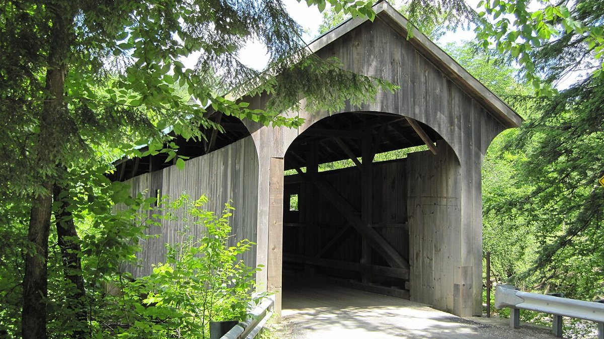
Mill Covered Bridge (Belvidere, Vermont) is a covered bridge in Lamoille County, Vermont. Vermont has 91 covered bridges on record at Wayfarrow, 14 of them in Lamoille County.
It crosses Lamoille River; it is about 71 feet long (25th longest of 46 measured in Vermont).
Status check, 2026-11: Queenpost bridge over the North Branch of the Lamoille River. The NRHP gives c.1890 and the Vermont Covered Bridge Society gives 1895. Steel deck beams were added after a 1971 snowplow accident. Mill Covered Bridge (Belvidere, Vermont) is listed on the National Register of Historic Places. It stands at 44.7439° N, 72.7408° W.
Key facts
| Crosses | Lamoille River |
|---|---|
| Length | 71 ft |
| Heritage designation | National Register of Historic Places listed place |
| National Register | Listed |
| Coordinates | 44.74390, -72.74080 |
Nearby places
- Morgan Covered Bridgecovered bridge · Lamoille County · 0.6 mi
- Jaynes Covered Bridgecovered bridge · Lamoille County · 2.3 mi
- Montgomery Covered Bridgecovered bridge · Lamoille County · 3.6 mi
- Church Street Covered Bridgecovered bridge · Lamoille County · 4 mi
- East Fairfield Covered Bridgecovered bridge · Franklin County · 6.6 mi
- Poland Covered Bridgecovered bridge · Lamoille County · 7.4 mi
- Power House Covered Bridgecovered bridge · Lamoille County · 8.2 mi
- Grist Mill Covered Bridgecovered bridge · Lamoille County · 8.5 mi
- Scribner Covered Bridgecovered bridge · Lamoille County · 8.6 mi
- Gates Farm Covered Bridgecovered bridge · Lamoille County · 9.4 mi
- West Hill Covered Bridgecovered bridge · Franklin County · 9.7 mi
- Waterman Covered Bridgecovered bridge · Lamoille County · 9.7 mi
Questions
Where is Mill Covered Bridge (Belvidere, Vermont)?
Mill Covered Bridge (Belvidere, Vermont) is in Lamoille County, Vermont, at 44.7439, -72.7408.
How many covered bridges are in Lamoille County?
Lamoille County, Vermont has 14 covered bridges on record at Wayfarrow.
- Wikidata — Wikidata item (CC0)
- National Register of Historic Places — National Register of Historic Places record (public-domain)
- Wikidata — Wikipedia article (linked as a source; text not used) (CC0)
- Wayfarrow status check (web sources) — Checked for current status (facts)
- Wayfarrow status check (web sources) — Checked for current status (facts)
- Wayfarrow status check (web sources) — Checked for current status (facts)
- Wayfarrow status check (web sources) — Checked for current status (facts)
Facts marked "approximately" carry an uncertain date in the source. Text on this page is generated from the sources above; no encyclopedia prose is copied. Last updated 2026-11-05.