 Wayfarrow
Sinking Creek Covered Bridge
Covered bridge · Giles County, Virginia
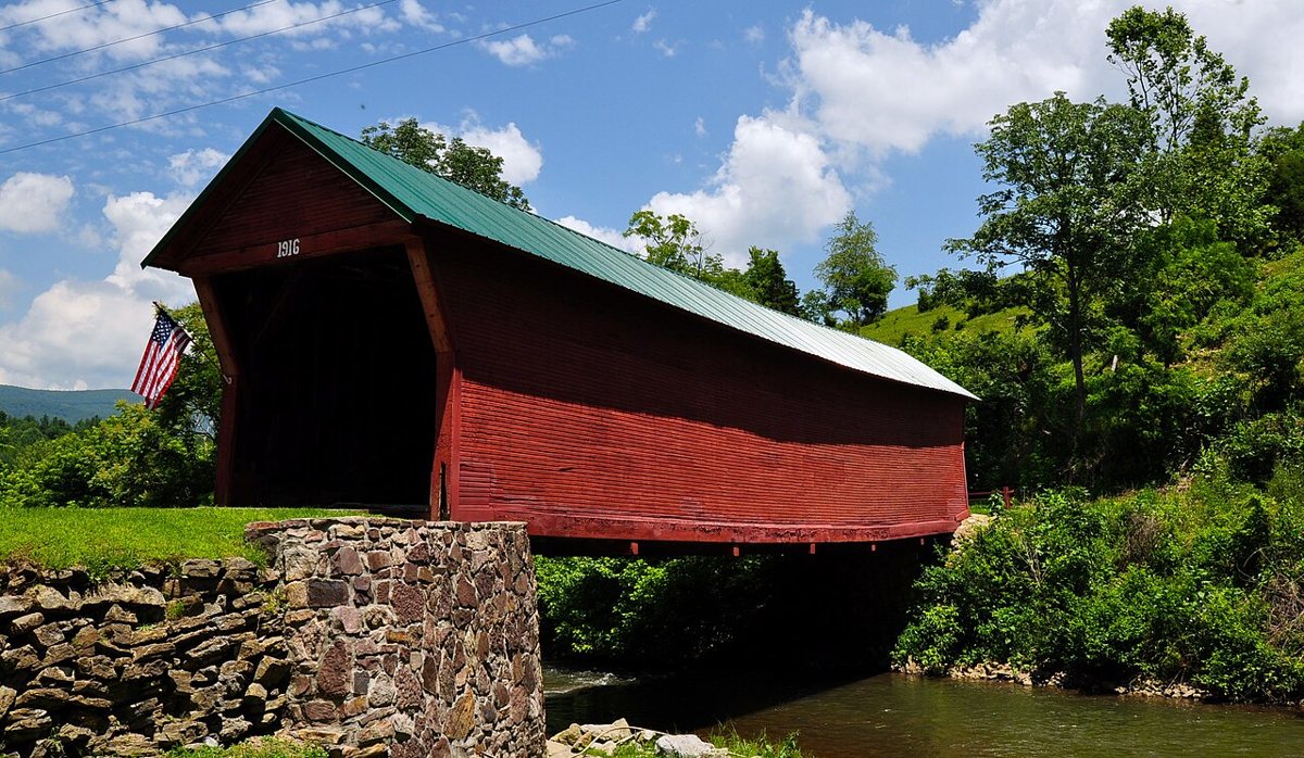
Sinking Creek Covered Bridge is a covered bridge in Giles County, Virginia. Virginia has 8 covered bridges on record at Wayfarrow, 2 of them in Giles County.
It was built in 1916, in the early 20th century, making it the 4th oldest of the 6 in Virginia with a recorded construction date.
Status check, 2026-11: Also called Clover Hollow Bridge, this modified Howe truss was bypassed, restored in 1999–2000 and is now open to pedestrians. Sources give its length as either 70 ft or 71 ft. It stands at 37.3070° N, 80.4976° W.
Nearby places
- Link Farm Covered Bridgecovered bridge · Giles County · 1.1 mi
- Staytideghost town · Giles County · 6.7 mi
- Goodwins Ferryghost town · Montgomery County · 8.6 mi
- Forest Hillsghost town · Montgomery County · 8.7 mi
- Churchwoodghost town · Pulaski County · 9.6 mi
- Montgomery White Sulphur Springsghost town · Montgomery County · 12.5 mi
- Bangsghost town · Montgomery County · 12.6 mi
- Wenonahghost town · Giles County · 14 mi
- Wabashghost town · Giles County · 14.4 mi
- Gray Sulphur Springsghost town · Giles County · 16.9 mi
- Indian Creek Covered Bridgecovered bridge · Monroe County · 17.1 mi
- Laurel Creek Covered Bridgecovered bridge · Monroe County · 19 mi
Questions
Where is Sinking Creek Covered Bridge?
Sinking Creek Covered Bridge is in Giles County, Virginia, at 37.3070, -80.4976.
How many covered bridges are in Giles County?
Giles County, Virginia has 2 covered bridges on record at Wayfarrow.
- Wikidata — Wikidata item (CC0)
- Wayfarrow status check (web sources) — Checked for current status (facts)
- Wayfarrow status check (web sources) — Checked for current status (facts)
- Wayfarrow status check (web sources) — Checked for current status (facts)
Facts marked "approximately" carry an uncertain date in the source. Text on this page is generated from the sources above; no encyclopedia prose is copied. Last updated 2026-11-05.