 Wayfarrow
Wheat Basin
Ghost town · Stillwater County, Montana
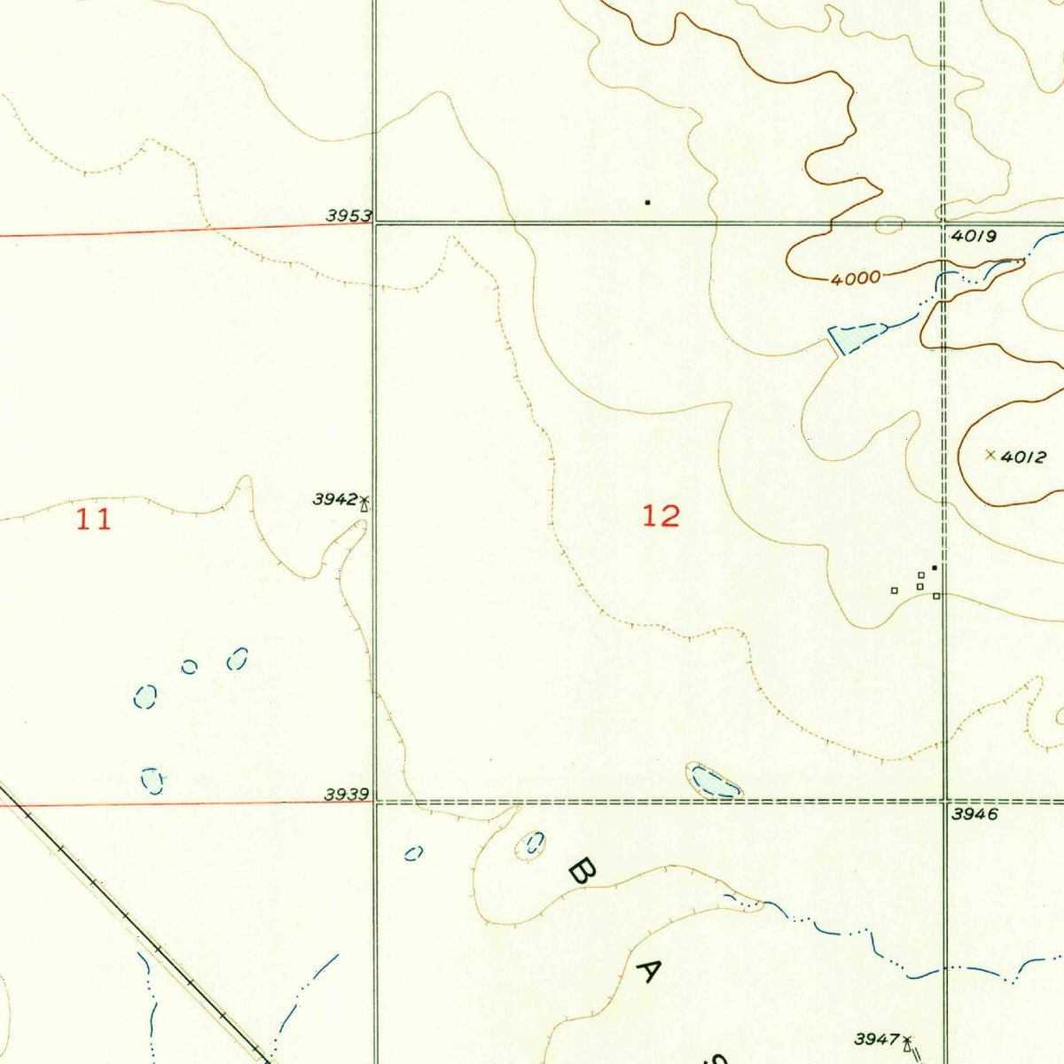
Wheat Basin is a ghost town in Stillwater County, Montana, recorded as human settlement in Stillwater County, Montana, United States of America. It is one of 3 former communities in Stillwater County on the federal names register. That ranks the county 49th among the 55 Montana counties with a vanished settlement on record.
The U.S. Geological Survey lists Wheat Basin as a historical populated place: the name is no longer in official use for a community, whether the settlement was abandoned, absorbed into a neighbouring town or renamed. The recorded location is 45.9375° N, 109.0630° W.
Key facts
| Peak population | 0 |
|---|---|
| Last recorded population | 0 |
| Nearest living town | Rapelje, MT |
| Distance to it | 9.7 miles |
| Coordinates | 45.93750, -109.06300 |
What's there now
Wheat Basin is no longer a community in its own right. The nearest living town is Rapelje, MT (population 96), about 9.7 miles away in a straight line. Much of the land around former townsites is private; check access before you visit.
Nearby places
- Shoreyghost town · Stillwater County · 10.1 mi
- Seventynineghost town · Golden Valley County · 18.2 mi
- Rimrockghost town · Yellowstone County · 19.7 mi
- Mossmainghost town · Yellowstone County · 24.4 mi
- Slayton Junctionghost town · Golden Valley County · 24.9 mi
- Dodgetownghost town · Golden Valley County · 29.3 mi
- Coulsonghost town · Yellowstone County · 30 mi
- Coalvilleghost town · Carbon County · 37.8 mi
- Osbornghost town · Yellowstone County · 39.4 mi
- Republicghost town · Musselshell County · 40.9 mi
- Emoryghost town · Golden Valley County · 41.6 mi
- Cherry Springsghost town · Carbon County · 43.9 mi
Questions
Where is Wheat Basin?
Wheat Basin is in Stillwater County, Montana, at 45.9375, -109.0630.
How many ghost towns are in Stillwater County?
Stillwater County, Montana has 3 ghost towns on record at Wayfarrow.
- Wikidata — Wikidata item (CC0)
- Wikidata — Wikipedia article (linked as a source; text not used) (CC0)
- U.S. Census Bureau TIGER/Line and ACS — Census Gazetteer + ACS 5-year population (public-domain)
Facts marked "approximately" carry an uncertain date in the source. Text on this page is generated from the sources above; no encyclopedia prose is copied. Last updated 2026-11-05.