 Wayfarrow
Fort Point Light
Lighthouse · Waldo County, Maine
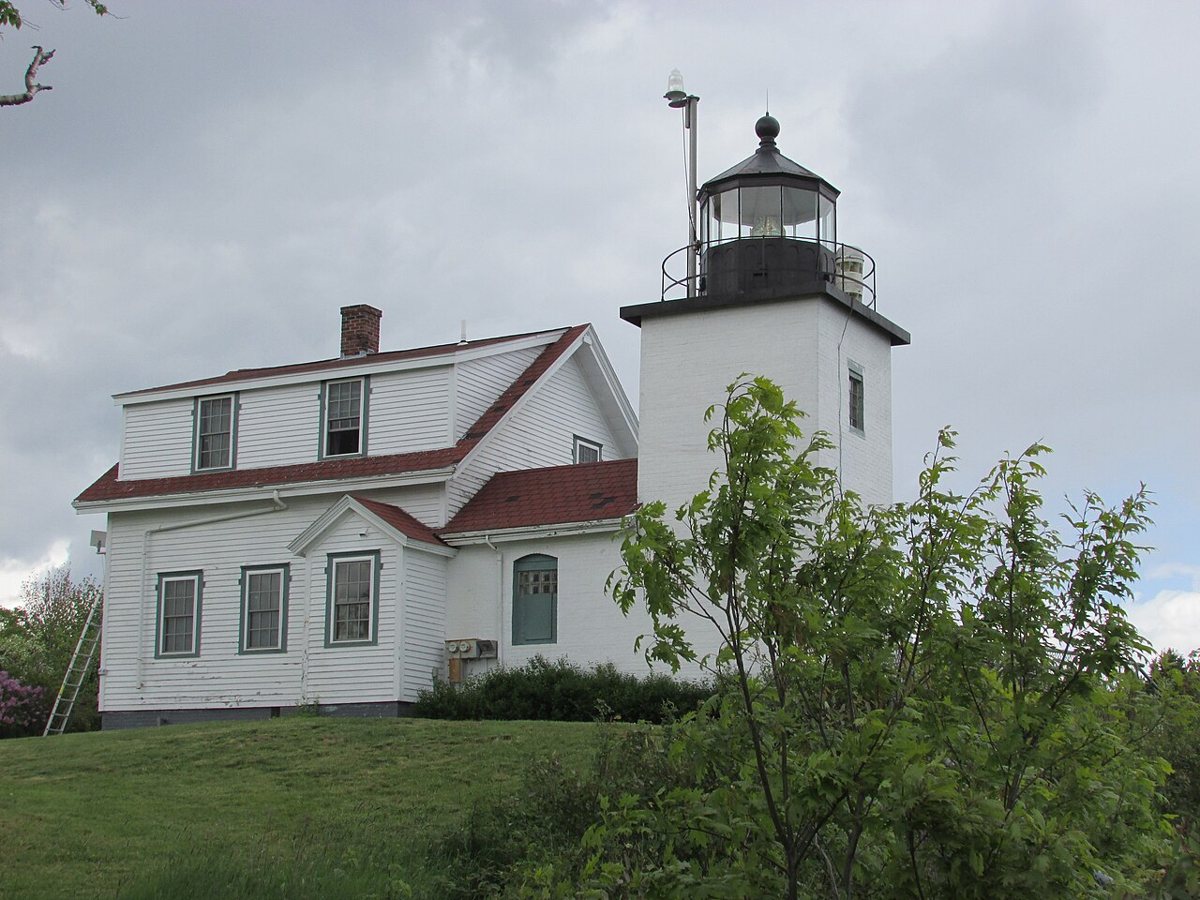
Fort Point Light is a lighthouse in Waldo County, Maine. Maine has 70 lighthouses on record at Wayfarrow, 2 of them in Waldo County.
It was built in 1857, in the Civil War era, making it the 20th oldest of the 61 in Maine with a recorded construction date; the tower stands about 31 feet tall (34th tallest of 53 measured in Maine); its light sits 89 feet above the water; the light characteristic is recorded as F W (a steady light), with a range of about 15 nautical miles; it guards Penobscot Bay; the recorded designer or builder is United States Army Corps of Engineers.
Status check, 2026-11: The current square brick tower and keeper's house were built in 1857 to replace the original 1836 light, which makes the record's 1836 date wrong for the current tower. The 31 ft height is from the USLHS archive. Wikipedia gives 26 ft to the lantern. Fort Point Light is listed on the National Register of Historic Places. It stands at 44.4671° N, 68.8117° W.
Key facts
| Current structure built | 1857 |
|---|---|
| Tower height | 31 ft |
| Focal height | 89 ft |
| Light characteristic | F W |
| Range | 15 nautical miles |
| Body of water | Penobscot Bay |
| Designer / builder | United States Army Corps of Engineers |
| Heritage designation | National Register of Historic Places listed place |
| National Register | Listed |
| Coordinates | 44.46713, -68.81168 |
Nearby places
- Penobscotghost town · Hancock County · 5.5 mi
- Dice Head Lightlighthouse · Hancock County · 5.9 mi
- Pumpkin Island Lightlighthouse · Hancock County · 11.4 mi
- Winter Harbor Lightlighthouse · Hancock County · 11.4 mi
- Grindel Point Lightlighthouse · Waldo County · 14.4 mi
- Eagle Island Lightlighthouse · Hancock County · 17.4 mi
- Nicolinghost town · Hancock County · 18.1 mi
- Blue Hill Bay Lightlighthouse · Hancock County · 21.6 mi
- Curtis Island Lightlighthouse · Knox County · 21.8 mi
- Goose Rocks Lightlighthouse · Knox County · 23 mi
- Deer Island Thorofare Lightlighthouse · Hancock County · 23.6 mi
- Maxfield Covered Bridgecovered bridge · Penobscot County · 24 mi
Questions
Where is Fort Point Light?
Fort Point Light is in Waldo County, Maine, at 44.4671, -68.8117.
How many lighthouses are in Waldo County?
Waldo County, Maine has 2 lighthouses on record at Wayfarrow.
- Wayfarrow status check (web sources) — Checked for current status (facts)
- Wayfarrow status check (web sources) — Checked for current status (facts)
- Wayfarrow status check (web sources) — Checked for current status (facts)
- Wikidata — Wikidata item (CC0)
- National Register of Historic Places — National Register of Historic Places record (public-domain)
- Wikidata — Wikipedia article (linked as a source; text not used) (CC0)
Facts marked "approximately" carry an uncertain date in the source. Text on this page is generated from the sources above; no encyclopedia prose is copied. Last updated 2026-11-05.