 Wayfarrow
Cape Fear Light
Lighthouse · Brunswick County, North Carolina
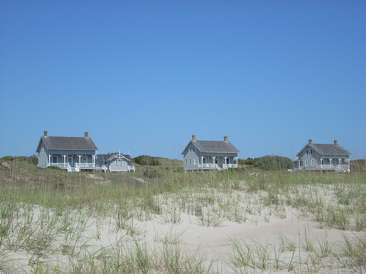
Cape Fear Light is a lighthouse in Brunswick County, North Carolina. North Carolina has 18 lighthouses on record at Wayfarrow, 4 of them in Brunswick County.
The light characteristic is recorded as Fl W 10s (a white flash every 10 seconds); it was deactivated in 1958.
Current sources show this lighthouse no longer stands. Status check, 2026-11: This was a skeleton tower built in 1903 on Bald Head Island. It was torn down in 1958 when Oak Island Light replaced it, so nothing stands there now. Sources disagree on its height (150, 161 or 184 ft). The record's coordinates are almost the same as Oak Island Light's, so they should be checked. Cape Fear Light is listed on the National Register of Historic Places. It stands at 33.8927° N, 78.0348° W.
Key facts
| Light characteristic | Fl W 10s |
|---|---|
| Deactivated | 1958 |
| Heritage designation | National Register of Historic Places listed place |
| National Register | Listed |
| Coordinates | 33.89270, -78.03480 |
Nearby places
- Oak Island Lightlighthouse · Brunswick County · 0 mi
- Bald Head Lighthouselighthouse · Brunswick County · 2.4 mi
- Price Creek Lightlighthouse · Brunswick County · 3.9 mi
- Jinnys Branchghost town · Brunswick County · 21 mi
- Frying Pan Shoals Lightlighthouse · North Carolina · 38.4 mi
- Poley Bridge Crossingghost town · Columbus County · 41.4 mi
- Dogwood Neckghost town · Horry County · 45.1 mi
- Exeterghost town · Pender County · 47.8 mi
Questions
Where is Cape Fear Light?
Cape Fear Light is in Brunswick County, North Carolina, at 33.8927, -78.0348.
How many lighthouses are in Brunswick County?
Brunswick County, North Carolina has 4 lighthouses on record at Wayfarrow.
- Wayfarrow status check (web sources) — Checked for current status (facts)
- Wayfarrow status check (web sources) — Checked for current status (facts)
- Wayfarrow status check (web sources) — Checked for current status (facts)
- Wayfarrow status check (web sources) — Checked for current status (facts)
- Wikidata — Wikidata item (CC0)
- National Register of Historic Places — National Register of Historic Places record (public-domain)
- Wikidata — Wikipedia article (linked as a source; text not used) (CC0)
Facts marked "approximately" carry an uncertain date in the source. Text on this page is generated from the sources above; no encyclopedia prose is copied. Last updated 2026-11-05.