 Wayfarrow
Ashland Covered Bridge
Covered bridge · New Castle County, Delaware
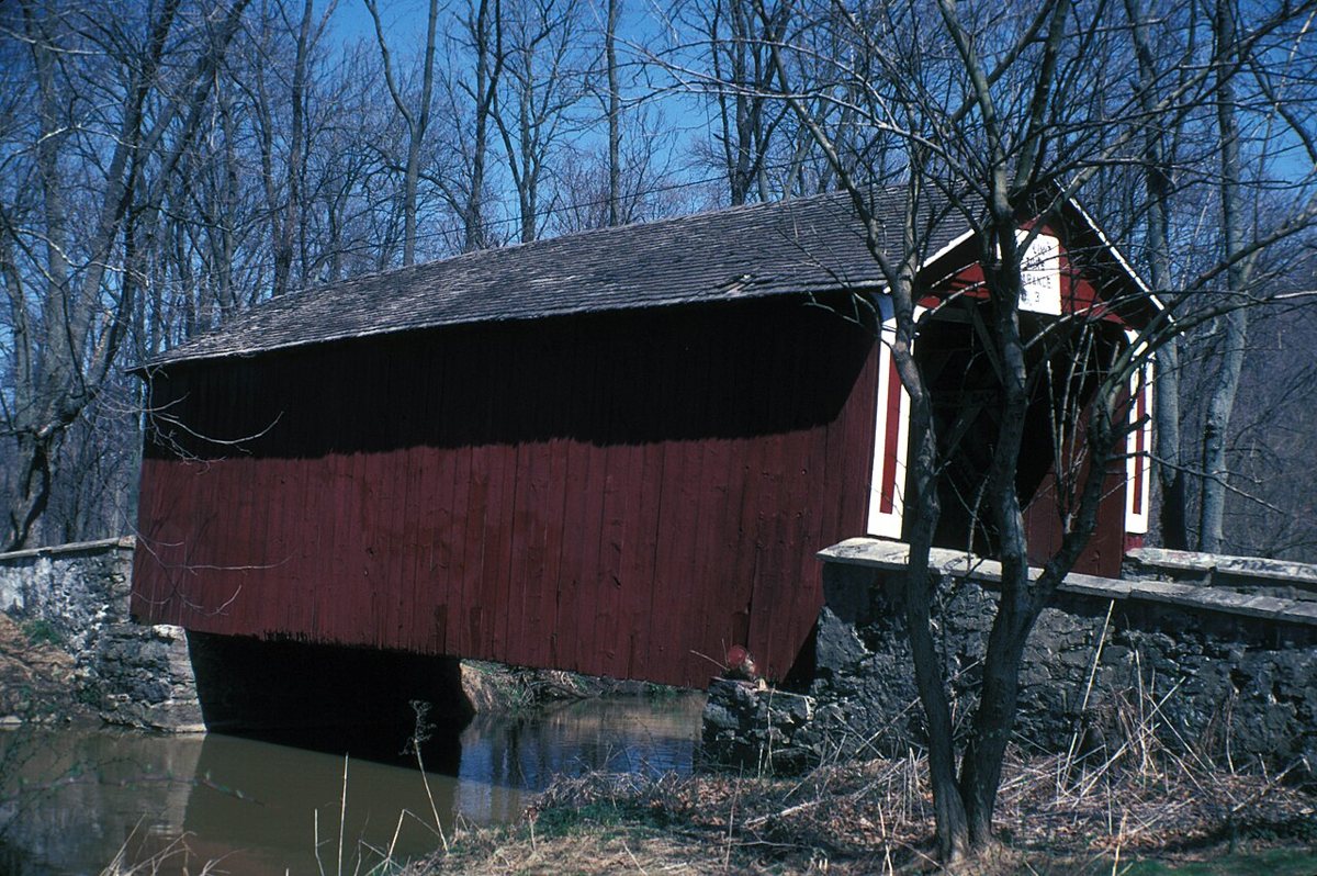
Ashland Covered Bridge is a covered bridge in New Castle County, Delaware, described in its record as United States historic place. Delaware has 4 covered bridges on record at Wayfarrow, 4 of them in New Castle County.
It crosses Red Clay Creek.
Status check, 2026-11: Town lattice bridge over Red Clay Creek, restored in 2008 and repaired after Hurricane Ida in 2021. Build dates in sources range from c.1850 to c.1870, and lengths are given as 52 or 54 ft. Ashland Covered Bridge is listed on the National Register of Historic Places. It stands at 39.7981° N, 75.6581° W.
Key facts
| Crosses | Red Clay Creek |
|---|---|
| Heritage designation | National Register of Historic Places listed place |
| National Register | Listed |
| Coordinates | 39.79810, -75.65810 |
Nearby places
- Wooddale Bridgecovered bridge · New Castle County · 2.5 mi
- Queonemysingghost town · Delaware County · 4.4 mi
- Smith's Bridgecovered bridge · New Castle County · 5 mi
- Glenvilleghost town · New Castle County · 6 mi
- Marcus Hook Range Rear Lightlighthouse · New Castle County · 8.6 mi
- Christiana Lightlighthouse · New Castle County · 9 mi
- Bellevue Range Rear Lightlighthouse · New Castle County · 9.2 mi
- Cherry Island Range Rear Lightlighthouse · New Castle County · 9.3 mi
- Christiana North Jetty Lightlighthouse · New Castle County · 9.6 mi
- Covered Bridge Farms Covered Bridgecovered bridge · New Castle County · 9.6 mi
- Marcus Hook Range Front Lightlighthouse · New Castle County · 9.8 mi
- Marcus Hook Range Front Lightlighthouse · New Castle County · 9.8 mi
Questions
Where is Ashland Covered Bridge?
Ashland Covered Bridge is in New Castle County, Delaware, at 39.7981, -75.6581.
How many covered bridges are in New Castle County?
New Castle County, Delaware has 4 covered bridges on record at Wayfarrow.
- Wikidata — Wikidata item (CC0)
- National Register of Historic Places — National Register of Historic Places record (public-domain)
- Wikidata — Wikipedia article (linked as a source; text not used) (CC0)
- Wayfarrow status check (web sources) — Checked for current status (facts)
- Wayfarrow status check (web sources) — Checked for current status (facts)
- Wayfarrow status check (web sources) — Checked for current status (facts)
- Wayfarrow status check (web sources) — Checked for current status (facts)
Facts marked "approximately" carry an uncertain date in the source. Text on this page is generated from the sources above; no encyclopedia prose is copied. Last updated 2026-11-05.