 Wayfarrow
State Sanitorium Covered Bridge
Covered bridge · Parke County, Indiana
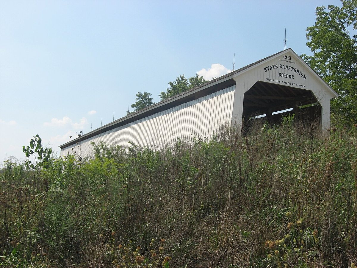
State Sanitorium Covered Bridge is a covered bridge in Parke County, Indiana, described in its record as place in Indiana listed on National Register of Historic Places. Indiana has 103 covered bridges on record at Wayfarrow, 36 of them in Parke County.
It was built in 1913, in the early 20th century, making it the 75th oldest of the 87 in Indiana with a recorded construction date; it crosses Little Raccoon Creek.
Status check, 2026-11: Built in 1913 (not 1912 as the record says) by J.A. Britton, then moved about a mile upstream and rehabilitated around 2008–09. It has a 154 ft span, or 170 ft with overhangs. State Sanitorium Covered Bridge is listed on the National Register of Historic Places. It stands at 39.7811° N, 87.1450° W.
Key facts
| Current structure built | 1913 |
|---|---|
| Crosses | Little Raccoon Creek |
| Heritage designation | National Register of Historic Places listed place |
| National Register | Listed |
| Coordinates | 39.78111, -87.14500 |
Nearby places
- Beeson Covered Bridgecovered bridge · Parke County · 3.5 mi
- Billie Creek Covered Bridgecovered bridge · Parke County · 3.6 mi
- Leatherwood Station Covered Bridgecovered bridge · Parke County · 3.8 mi
- Crooks Covered Bridgecovered bridge · Parke County · 4.6 mi
- Catlin Covered Bridgecovered bridge · Parke County · 5 mi
- Hollandsburg Covered Bridgecovered bridge · Parke County · 5.2 mi
- McAllister Covered Bridgecovered bridge · Parke County · 5.5 mi
- Hargrave Covered Bridgecovered bridge · Parke County · 5.6 mi
- Neet Covered Bridgecovered bridge · Parke County · 6.2 mi
- Portland Mills Covered Bridgecovered bridge · Parke County · 6.3 mi
- Pottertownghost town · Parke County · 7.1 mi
- Nevins Covered Bridgecovered bridge · Parke County · 7.6 mi
Questions
Where is State Sanitorium Covered Bridge?
State Sanitorium Covered Bridge is in Parke County, Indiana, at 39.7811, -87.1450.
How many covered bridges are in Parke County?
Parke County, Indiana has 36 covered bridges on record at Wayfarrow.
- Wikidata — Wikidata item (CC0)
- National Register of Historic Places — National Register of Historic Places record (public-domain)
- Wikidata — Wikipedia article (linked as a source; text not used) (CC0)
- Wayfarrow status check (web sources) — Checked for current status (facts)
- Wayfarrow status check (web sources) — Checked for current status (facts)
- Wayfarrow status check (web sources) — Checked for current status (facts)
- Wayfarrow status check (web sources) — Checked for current status (facts)
Facts marked "approximately" carry an uncertain date in the source. Text on this page is generated from the sources above; no encyclopedia prose is copied. Last updated 2026-11-05.